Map
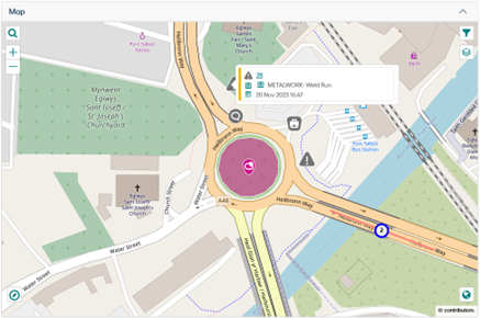
The Map displays the plotted Feature Geometry. Feature Geometry can be a Point, a Line, or a Polygon. If the Feature itself does not have Geometry, the Site Point Geometry is used instead.

Please refer to the Confirm Map page for more information about the various buttons and features available on the Map.
What's Going On Here 
The Map on the Feature screen only uses spatial geometry data linked to the map entities (Jobs, Defects, Features, Enquiries) when displaying 'What's Going On Here' data. Easting and Northing data is not used.

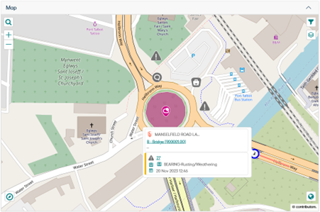
If an entity does not have populated spatial data, it will rely on the spatial data of the entity's associated Feature instead. For example, Jobs/Defects will have a fall back to the spatial geometry of their linked Feature.

For example, here we can see the Defect does not have its own spatial geometry so it is shown with its Feature.
If neither the entity nor its associated Feature have spatial data, the entity will not be displayed. In this scenario it is advised that the spatial geometry data be populated using the Map section on the relevant entity screen in the Confirm web interface.